 Улаанбаатар


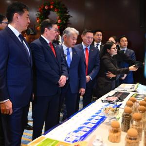
Permanent exhibition opens on geodesy and cartography
Society
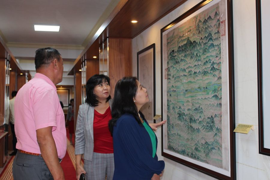
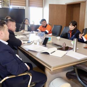
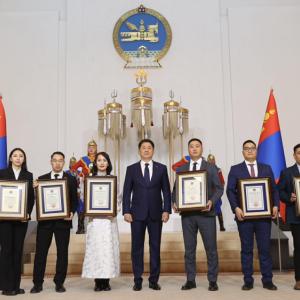
Ulaanbaatar /MONTSAME/ On the occasion of the 90th
anniversary of the geodesy and cartography department and the 50th
anniversary of the government authority for cartography, a permanent exhibition
opened at the Government building No.12 on September 9.
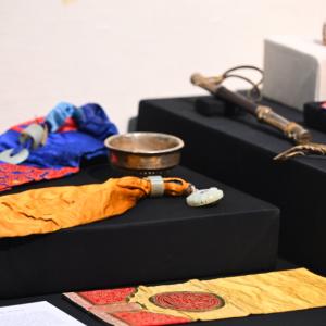
The exhibition features archival documents related to the department’s
development, specifically, a set of maps created since 17th
century, photo report of a joint soil and plant study conducted by Mongolian
and Soviet specialists in 1961-1990, and tools used by senior specialists, pedologists,
and specialists of the state land use planning research institute.
In the exhibition, archival facts that play an important
role in reintroducing national and local geographical terms and carrying out
studies in that field are put on public display for the first time.
Холбоотой мэдээ