 Улаанбаатар
Electronic National Atlas of Mongolia Launched
Society
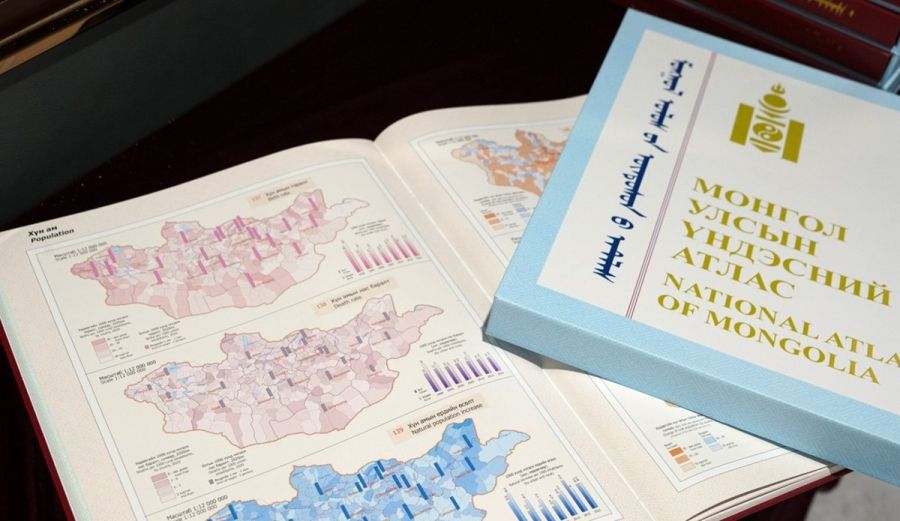
Ulaanbaatar, June 25, 2025 /MONTSAME/. The Institute of Geography and Geoecology of the Academy of Sciences of Mongolia has implemented and publicized the “Digitizing and Enhancing Accessibility of the National Atlas of Mongolia (E-NAM)” project, funded by UNESCO’s “Participation Programme”.
The
Electronic National Atlas of Mongolia (E-NAM) is a significant innovation that
encompasses comprehensive science-based information on the Mongols’ lifestyle,
history, and culture. It provides information about the territory, administrative
structure, geographic situation, natural resources, population, history,
society, and economy of Mongolia.
The E-NAM
includes 132 thematic pictures and five main sections, formulated in English
and Mongolian languages, and features citation models for all relevant authors.
Additionally, it incorporated a summary of versions of the “National Atlas of
Mongolia” published in 1990, 2009, and 2022, along with information about their
editorial teams. All information included in this publication is accessible to
everyone regardless of their location, age, or economic capability. The E-NAM
is significant as it publicizes research sources and opens opportunities to
expand international scientific cooperation. This project is regarded as an
important contribution to the implementation of UNESCO’s Recommendation on Open
Science, which aims to make multilingual scientific knowledge openly available
and increase the sharing of information worldwide.
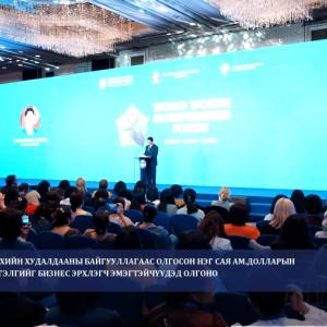
The opening
ceremony was attended by the Secretary-General of the Mongolian National
Commission for UNESCO, Boldsaikhan Sambuu, Member of Parliament and academician
Regdel Duger, Director of the Department for Science,
Technology, and Innovation Policy of the Ministry of Economy and Development,
Battogtokh Dorjgotov, professor at the National University of
Mongolia, Dr. Sainbuyan Bayarsaikhan, Scientist and Secretary of the
Information and Research Institute of Meteorology, Hydrology and Environment of
Mongolia, Dr. P. Gomboluudev, and Senior Scientist at the Institute of
Geography and Geoecology, Dr. J. Oyungerel.
Every
country in the world regards its national atlas with the same reverence as its
state emblem, flag, and national anthem, using it as a symbol of national
pride. Currently, over 70 countries have a national atlas, and almost 20 have a
digital atlas.