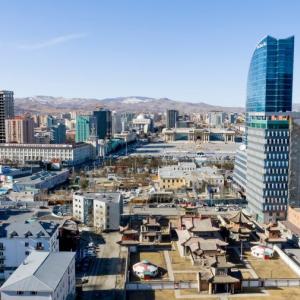
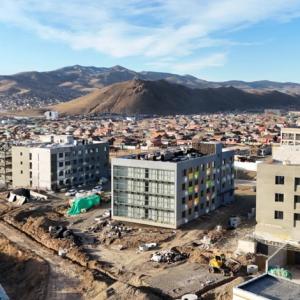
 Ulaanbaatar


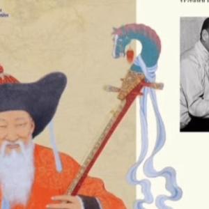
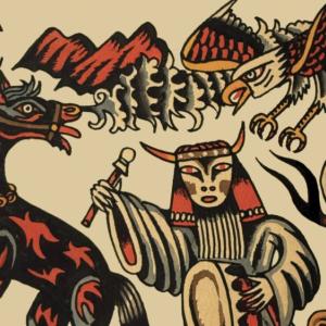
Map of relay stations during Manchu period
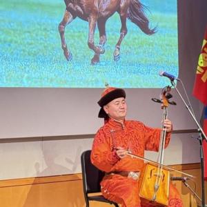
Art & Culture
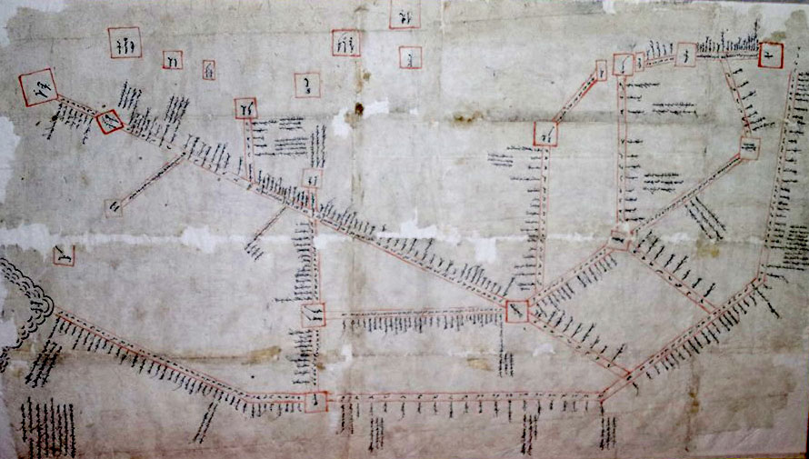
Bayankhongor /MONTSAME/ Map of relay stations or watchtower camps during Manchu period is being preserved at the History and Ethnographic Museum of Bayankhongor aimag. The map, written in traditional Mongolian script with black ink on papyrus, dates back to the 18th-19th centuries.
In 1962, Former director of the museum L.Yundenbat obtained the original map of relay stations during Manchu period from herder of Bayangobi soum named Lkhamjav at MNT 350. The original map is in treasury fund of the museum while replicated map is being displayed to the public since 1975.
The map shows 103
relay stations and 170 sub-stations, where postal and guard services provided to
Manchu government by Mongolian people. Military security service was a heavy
load for people of the countries that were under rule of Manchu government. And
the Manchu government created three circles of guards namely inner guard, guard
for ger alongside border guard.
Moreover, postal relay service was one of the services in Manchu government. 1736 messengers and officials used to pass through 142 relay sub-stations of 20 relay stations, which provided by Khalkha people, in only one day. Furthermore, over 278 people in different positions, hundreds of families were being mobilized in about 60 relay stations in route to the capital city and Khiagta in one shift along with horses, sheep for food, gers, tents and other necessary items. Besides, according to the historic facts, 97 families and 352 men were being mobilized in over 10 relay stations of banners in one shift.