Ulaanbaatar


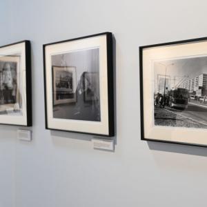
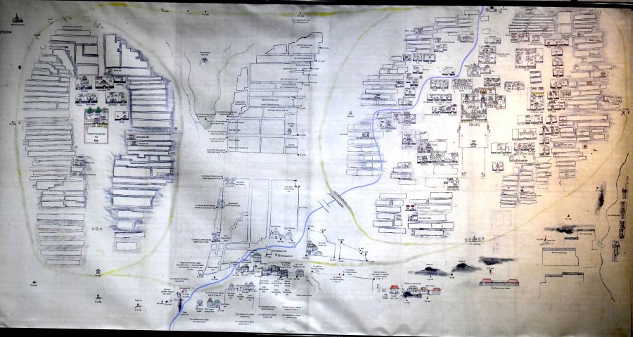
Capital city map from over 100 years ago presented
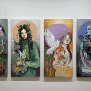
Art & Culture
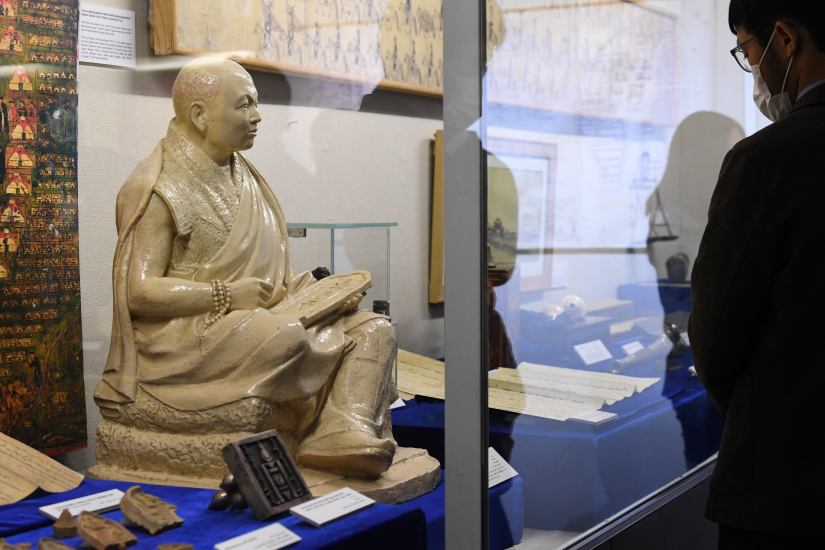
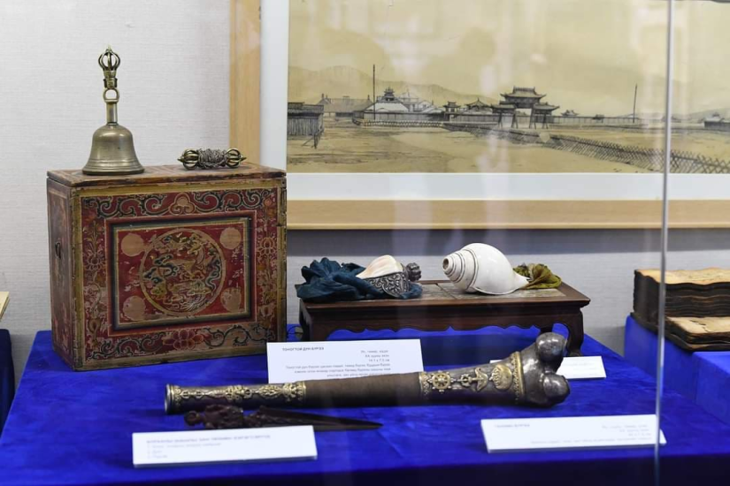
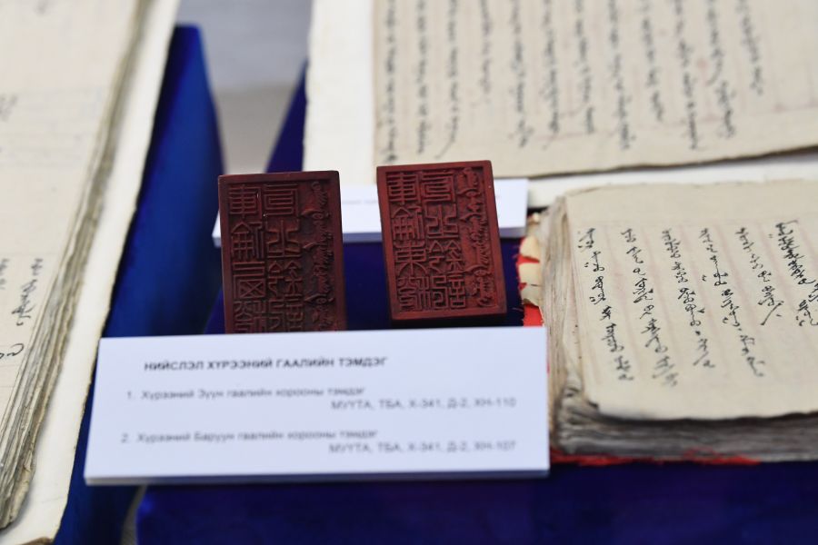
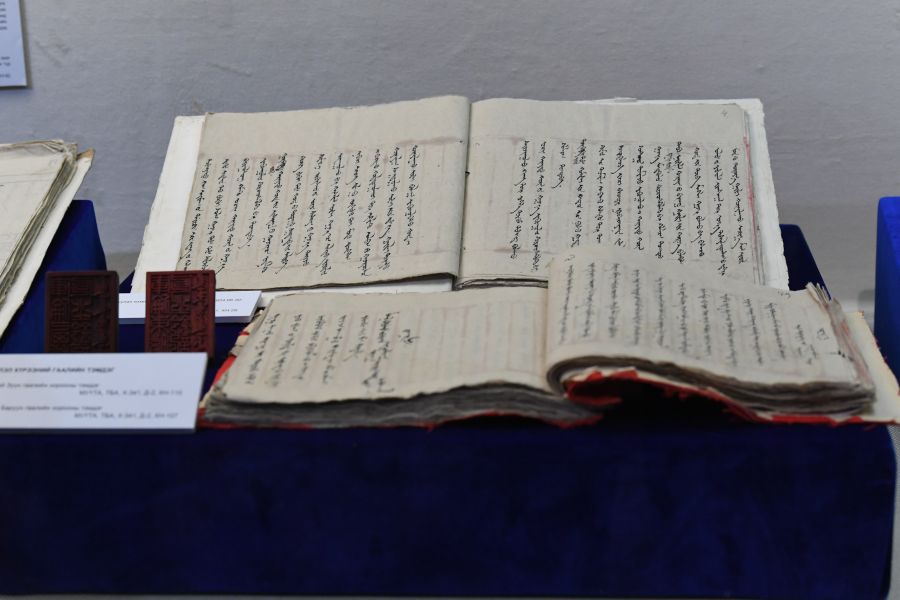
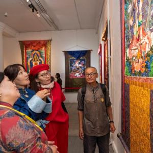
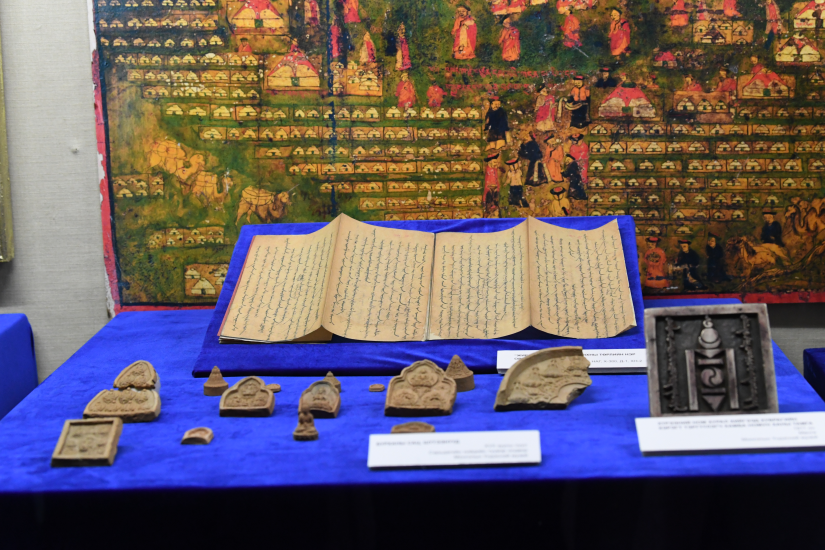
Ulaanbaatar /MONTSAME/. On February 9, the Governor’s Office of the Capital City, the Capital City Archives, and the Museum of Ulaanbaatar city jointly opened the ‘Niislel Khuree 110’ exhibition at the National Museum of Mongolia. The exhibition is being organized on the occasion of the 110th anniversary of the approval of the capital city’s legal framework per the Bogd Khaan’s decree.
One of the highlight artifacts of the exhibition was the copy of the map depicting the Niislel Khuree’s Gandantegchinlen Monastery and Zuun Khuree as well as the territory of its khoroos. Of the four copies that were made per the commissioning of the Prime Minister’s Office in 1913, two original copies are kept in the archives of the National Library of Mongolia.
About the Niislel Khuree map, researcher at Museum of Ulaanbaatar city G.Ochbayar explained, “The map depicts the four main parts of the Niislel Khuree. Monks were mainly based at Zuun Khuree and the Gandantegchinlen Monastery. As it was decided to permit the side of Russia to use a certain amount of land near the current Barilgachdiin Square (Builders' Square) at the time, the map also has a general illustration of the area.”
On February 7, 1912, the Bogd Khaan made the decision to have Ikh Khuree - the area that came to be developed as a spiritual hub for Mongolians from the year of 1639, become the capital city of Mongolia. The Bogd Khaan’s decree was publicly announced on February 9, officially naming the city as Niislel Khuree.
During a plenary session of the first State Great Khural of Mongolia in late 1924, the decision to continue to have Niislel Khuree as the country’s capital city was approved, changing its name to Ulaanbaatar.
The exhibition will run at the museum until February 23.