Ulaanbaatar


Engineer geological data base commissions
Society
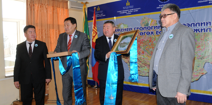
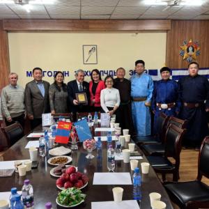
Ulaanbaatar /MONTSAME/ An Engineer Geological Data base commissioned on December 18, which included 34 types of information such as mineral resources in the territory of Mongolia, soil moisture, historical, archeological monuments, seismicity and climate.
By order of Agency for Land Administration and Management, Geodesy and Cartography (ALAMGC), ‘Enggeotech’ Co.Ltd performed the work to integrate big studies and researches, conducted in the last 100 years, covering issues ranging from mineral resources to land management.
By order of Agency for Land Administration and Management, Geodesy and Cartography (ALAMGC), ‘Enggeotech’ Co.Ltd performed the work to integrate big studies and researches, conducted in the last 100 years, covering issues ranging from mineral resources to land management.
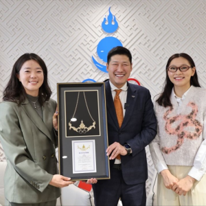
Rights to enrich the data base and share their scientific works with others will be given to the scholars and scientists, noted Kh.Badelkhan, Minister of Construction and Urban Development and he handed over the key of data base to Ts.Gankhuu, Director of the ALAMGC.
"Proper planning which well adjusted to the site and area is required for construction of buildings and roads . Therefore we have compiled data base which included all regional features" said Director Ts.Gankhuu. The database is applicable in all fields such as mining, farming and animal husbandry, he underlined.
United Nations Global Geospatial Information Management was established in 2000 and Mongolia is working as vice chair of UN GGIM Asia-Pacific. Therefore Mongolia should work acitvely leading others to develop geospatial information system, noted the officials.
B.Batchimeg